
New Hope Neighbors by Block Source
A block question needs an address-keyed source. Hennepin’s property tools can connect an address to a parcel identification number, or PID, and the county map can show the parcel shape and nearby PIDs. The city address and zoning maps add street and land-use context. Community sources can point to a public meeting or civic contact, but none proves who belongs to a household. Treat ownership, mailing, registration, and community participation as separate kinds of evidence.
| Source | What It Shows About a Block | Access |
|---|---|---|
| Hennepin County Property Interactive Map | Parcel shapes, nearby PIDs, street orientation, and public layers | Public map; a visual boundary is not a legal survey |
| Hennepin County Property Information Search | Address or PID result with assessment, tax, sales, and document-history context | Public portal; owner does not establish occupancy |
| Minnesota Secretary of State MNVotes | A registration-match route for a supplied name and required fields | Limited public access under Minnesota law |
| New Hope civic contacts | Public community, meeting, or crime-prevention context | Public contact pages, not member lists |
| Hennepin library directories | Dated address appearances for past blocks | Digital and in-person collections with edition limits |
An owner, a tax-mailing recipient, and a registered voter have different record roles. Even a map-adjacent parcel may sit across a right-of-way or at a corner. Use the map geometry and each source’s date before saying only that a public record connects a person or entity to a particular record.
Map New Hope Neighbors from a PID
The safest block method is parcel-centered. Begin with the subject address in the Hennepin Property Information Search, then preserve the 13-digit PID before moving to the county interactive map. The PID is a better bridge than a guessed household name because it links the address, parcel description, and map layer. Check the map date as well. A current map can orient the research, but it cannot answer a historical occupant question by itself.
Address → subject PID → immediate adjacent parcels → separate parcel and mailing fields → public civic context.
- Normalize the address, including direction, street suffix, unit, ZIP, and any alternate locality label.
- Find the subject parcel and note its PID, map date, street-facing side, and visible parcel boundaries.
- Open only the immediate surrounding parcels needed to describe the block. Note adjacent PIDs, corner relationships, alleys, and rights-of-way.
- Keep the parcel location, owner mailing, and tax mailing labels separate if the layer displays them. Stop if the map does not clearly support the claimed relationship.
For a complete named-street record chain, follow the New Hope street directory. A block review should remain a short-radius parcel exercise rather than a list of names collected from an entire street.
Read New Hope Neighbor Parcel Labels
County map layers may display owner, owner mailing, tax mailing, homestead-coded values, assessed values, and acreage fields. Those labels do not all describe the same place or person. The situs address is the parcel location. An owner mailing field can be outside New Hope, and a tax mailing field can be a separate contact address. Homestead information is a coded property attribute, not a resident roster. Keep each label with the field that produced it.
| Map or property field | Safe block-level reading |
|---|---|
| PID and legal description | Stable parcel identifiers for following the correct land record. |
| Parcel location | The location of the land, not a list of occupants. |
| Owner or tax mailing | A contact label that may differ from the parcel location. |
| Parcel geometry | A map relationship that should be checked for corners and rights-of-way. |
| Zoning layer | Land-use context, not an inference about private people or relationships. |
When a boundary matters, use a legal description or survey rather than a map screenshot. Hennepin warns that its parcel graphics are not legal boundary surveys. If a current parcel question also needs the recorded document chain, use Hennepin County Property and Land Records / RecordEASE Public Search with the PID or legal description, and describe grantor or grantee roles as instrument parties rather than neighbors.
New Hope Neighborhood Watch for Neighbors
New Hope’s official Community Services and Crime Prevention information describes approximately 60 active Neighborhood Watch groups. The groups meet at least twice each year, including one meeting with police, and Night to Unite materials provide a public gathering route. That makes the program useful for learning about a block’s civic activity or asking how to connect with an existing group. It does not create a public list of members, households, phone numbers, or participants.
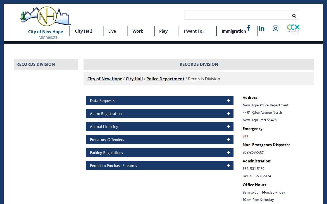
The New Hope Police Records Division is a separate official route for city-held police record requests and related records information.
Public meetings can add neighborhood context as well. New Hope’s City Council describes engagement with civic, business, and community groups. A meeting agenda or public comment record can establish that an issue was publicly discussed on a date, but it does not establish private membership or residence.
New Hope Neighbor Contact Routes
Public civic contacts are useful when the goal is to learn how a community connects, not to identify private households. Local research identifies the organizations below. Contact information should be used for the organization’s public activities and meetings, not as a starting point for compiling a resident list.
| Public contact | Local connection | What the source supports |
|---|---|---|
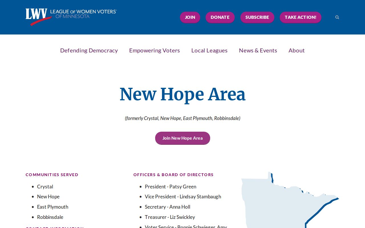
| League of Women Voters New Hope Area | Serves Crystal, New Hope, East Plymouth, and Robbinsdale | Public civic contact and activities; not private member information |
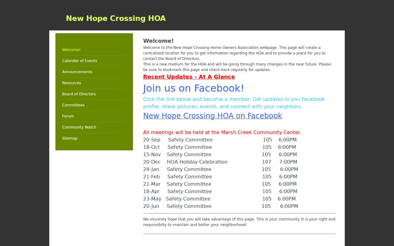
| New Hope Crossing | Neighborhood association with meetings at Marsh Creek Community Center | Community-association meeting lead; no public member directory was verified |
| Community Services / Crime Prevention | Neighborhood Watch and public community-program context | Group and event information, not a resident roster |
The League of Women Voters New Hope Area maintains a public civic page for the area.
New Hope Crossing identifies its neighborhood association and Marsh Creek Community Center meeting location.
New Hope Neighbor Block Geography
New Hope’s eastern boundary with Crystal is irregular and includes annexation pockets. That history matters when an address search returns a postal or nearby-city label that does not match the municipal label expected by the searcher. The area began as part of Crystal Lake Township, and New Hope incorporated in 1953 after a period of annexation pressure. Older records can therefore use Crystal Lake Township, Crystal, a rural route, or a later New Hope label for the same general area.
For a current block, compare the postal result with the city map and Hennepin parcel map rather than treating one locality string as boundary proof. The planning network also includes corridors such as Highway 169, West Broadway, Boone, Winnetka, 42nd, 49th, 62nd, and Medicine Lake Road. These corridors help describe access and street hierarchy, but they do not prove a social connection between adjacent properties. Preserve the original locality from any historical source and use the PID or legal description to test continuity.
New Hope Neighbor Record Categories
Official systems disclose a defined record for a defined purpose. A property map may show parcel fields, MNVotes offers a limited registration-match process, and a city page can provide a request channel. Commercial neighbor-lookup categories may combine public snippets, address histories, and phone data, but they are not the authoritative custodian for the underlying record. Use the official source when a field, date, or correction matters.
| Category | Best use | Limit |
|---|---|---|
| Official parcel and deed records | Confirm a parcel, PID, instrument role, or dated county record | Owner or party fields do not prove occupancy |
| Official election and city records | Use a constrained public workflow or request the custodian’s record | Privacy classifications and requester rules apply |
| Commercial neighbor-lookup category | At most, a prompt to locate the original public source | Not an authoritative record and not a substitute for verification |
Save the official URL, record type, and observation date. If an account or directory has a privacy or consumer-request channel, use that current channel for its own data rather than promising a universal removal path. A lawful public source can still be inappropriate to republish as a compiled personal dossier.
Privacy Limits for New Hope Neighbors
Minnesota public access is record-specific. The Minnesota Government Data Practices Act does not make every field public, and voter, court, vital-record, and address-confidentiality rules each have their own limits. MNVotes requires a full date of birth for matching but does not publicly display it. A voter nonmatch is not evidence that a person is absent from the community. It can reflect timing, spelling, protected status, or an inactive record.
Minnesota Safe at Home protects eligible participants’ actual addresses. Its purpose is to prevent cross-linking a protected clue into a real location. Do not publish full birth dates, identification numbers, private phone or email information, protected addresses, or a household-member list. A map relationship is not a social relationship, and a visible parcel is not permission to monitor its occupants. Send corrections or privacy requests to the appropriate custodian.
Lawful use. Use New Hope neighbor research for personal, lawful community curiosity, public-record questions, and public civic contact. Do not use it to watch, stalk, harass, intimidate, or harm anyone.