
Trace New Hope Streets by Address
A New Hope street search works best as a parcel trail, not as a broad list of names. First normalize the delivery address. Then use the county record to find the parcel identification number, or PID. The PID joins current assessment details to the map and gives the Recorder a more stable land reference than a street spelling alone. A name in an owner field, deed, voter result, or historical directory has a different meaning, so retain the record type and date beside every result.
- Check the full address in the USPS ZIP Lookup, including direction, suffix, unit, city label, and ZIP.
- Search the address in the Hennepin County Property Information Search, then save the 13-digit PID and tax-parcel description.
- Open the same parcel in the Hennepin County Property Interactive Map. Compare the parcel location, map date, nearby PIDs, and any mailing fields shown.
- Use the PID or legal description in RecordEASE Public Search to identify recorded instruments, their dates, document numbers, grantors, grantees, and references.
- Check the city permit record and the historical directory collection with the source-era street spelling. MNVotes is a separate name-and-required-input registration match, not a street roster.
That sequence keeps a current parcel match, a legal-instrument party, and a historical address listing from being collapsed into one unsupported claim. It also gives a clear fallback when a modern street string fails: return to the PID, legal description, section map, or earlier address form.
Note: Save the source URL, retrieval date, exact address text, PID, and the role shown before comparing results from different systems.
Normalize New Hope Street Names
Postal formatting is a retrieval tool. Start with house number, direction, street name, suffix, unit, ZIP, and the city label returned by the postal result. Then test source-era variants when needed. The historical directory search is exact-text sensitive, so N and North, or Ave and Avenue, can retrieve different results. A matching street name in a nearby locality also needs a parcel and ZIP check before it is treated as New Hope.
New Hope’s history adds another reason to preserve source wording. Early records may refer to Crystal Lake Township, Crystal, a rural route, or a later New Hope label. The city incorporated in 1953, and its eastern edge against Crystal is irregular because of annexation history. A postal locality such as Minneapolis, Crystal, Golden Valley, Brooklyn Center, or Brooklyn Park can be a mailing convention rather than a municipal-location finding.
The official New Hope Code is the verified starting point for street-name-change material in Appendix A. No specific citywide renumbering date was located. When an old string fails, use legal-description and PID continuity instead of inventing an address conversion.
Find the New Hope Street PID
Hennepin County advertises four ways into its property system: property address, 13-digit PID, addition name, and interactive map. Results can include taxes, current and prior assessment values, a tax-parcel description, sales, and recent recorded-document history. The official instructions do not advertise an owner-name-only search. For an older New Hope street address that misses, use the interactive map or a known legal description to recover the PID rather than expanding a surname search.
| Hennepin search field | Input type | Requirement shown | Street-search use |
|---|---|---|---|
| Property address | Text/address | Not stated | Start with the normalized street address. |
| PID | Text | Not stated | Use the 13-digit bridge across county systems. |
| Addition name | Text | Not stated | Locate a subdivision when an address changed. |
| Interactive map | Map click | Not applicable | Zoom and select a parcel when text matching fails. |
When a parcel result opens, preserve the fields that identify the record and its source date.
- Address and PID
- Tax-parcel description
- Current and prior assessment values
- Taxes and sales
- Recently recorded-document history
The county lists an online route plus an in-person one. Property Information can be reached at 612-348-3011 or taxinfo@hennepin.us, and its counter is listed at A-600 Government Center in Minneapolis. A parcel split or combination may create a successor PID, so compare the legal description and effective year if an older street record lands on more than one parcel.
The Hennepin property-search guide shows the official paths used to enter the county system.
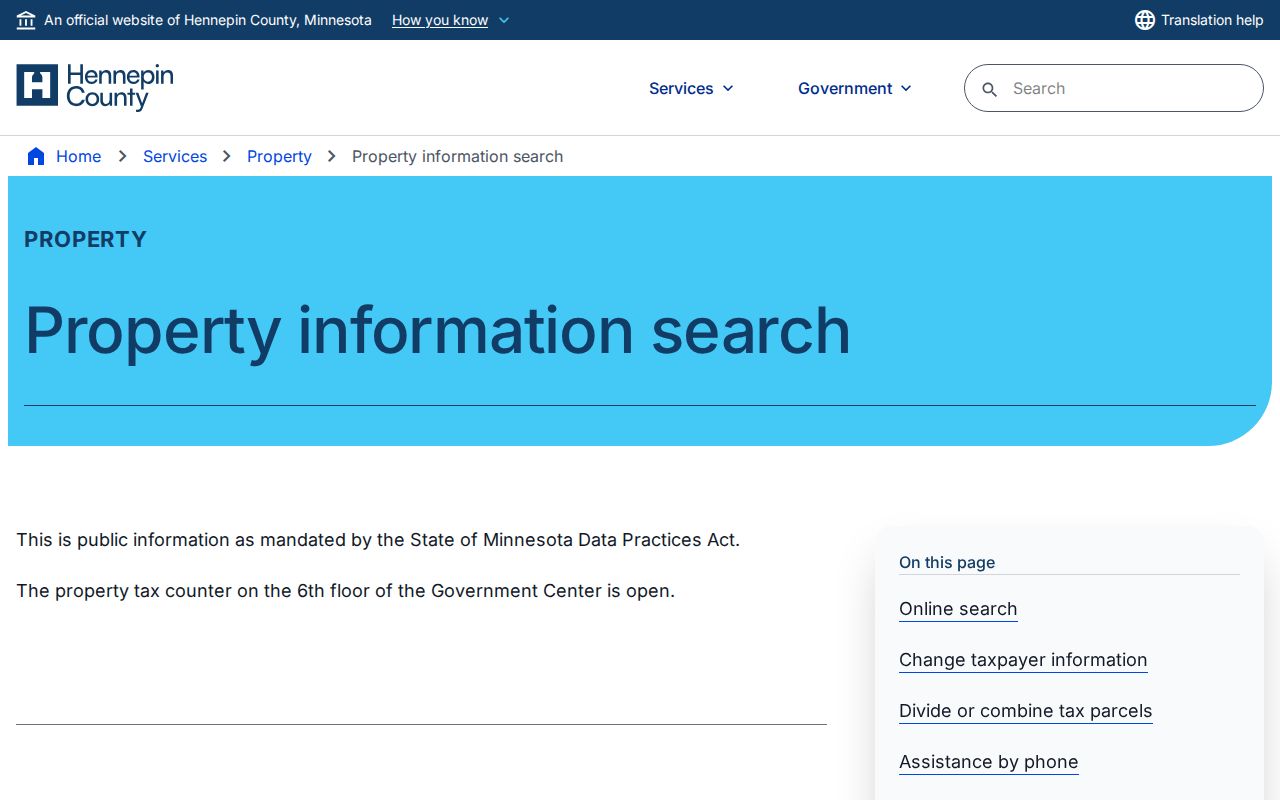
The address, PID, addition, and map routes make the PID the practical handoff between a New Hope address search and land-record research.
New Hope Address Record Roles
Street-by-street research is stronger when each address label stays in its own column. A situs address identifies the parcel location. A tax or owner mailing address may point somewhere else. A directory address is a dated listing, while a deed uses a legal description and names parties to an instrument. The following records can be connected through an address or PID, but none should be turned into a complete household list.
| Address-keyed source | Custodian | What it can establish | Access route and limit |
|---|---|---|---|
| Property and tax record | Hennepin County Property Information | Parcel description, tax and assessment context, sales, recent document history | Address, PID, addition, or map; owner-name-only search is not advertised. |
| Parcel map | Hennepin GIS | Parcel geometry, address, nearby PIDs, and displayed attribute layers | Online map and county map products; a map is not a legal survey. |
| Recorded instrument index | Hennepin County Recorder | Document number, date, instrument type, parties, legal text, and references | Limited RecordEASE index, paid image route, or Government Center kiosk. |
| Permit history | New Hope inspections | Property-number and street-name administrative entries | Online for permits issued since June 1988; older files are at City Hall. |
| Historical directory | HCL and MNHS | Dated name or address appearance | Exact-text search, library holdings, and staff-assisted research. |
Hennepin’s parcel database can display owner and mailing fields in its schema, but its live screen and the city’s address map serve different purposes. The city map is useful for local street orientation and zoning context. County systems are the stronger route for a parcel, tax, sales, or recorded-document trail.
Note: A tax mailing address can be an owner or agent contact, so it should never replace the parcel situs address in a New Hope street record.
Map New Hope Street Parcels
Use the county interactive map after the PID is known. Compare the displayed parcel shape, subdivision or section context, current address, and adjacent PIDs. If boundary precision matters, move beyond the map to a legal description or qualified survey. Hennepin’s section-map page expressly warns that its maps do not depict legal boundaries, and city zoning is land-use context rather than evidence about a person.
For a local paper map, New Hope offers free 11 by 17 address and zoning sheets at City Hall. The city lists 22 by 34 address maps at $5. County printed maps and surveyor data are separate products; the county lists surveyor.maps@hennepin.us and 612-348-3131 for its map route. Use the map to orient an address search, then retain the county parcel description for the legal connection.
The Hennepin section-map resource provides current and historic layers for address or map selection.
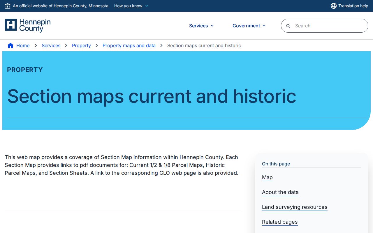
Section and plat context can help locate the legal-description anchor that a Recorder search needs, but it does not prove a person’s connection to a parcel.
The Hennepin Property Maps and Data page also links the county map, printed products, and surveyor-data resources.
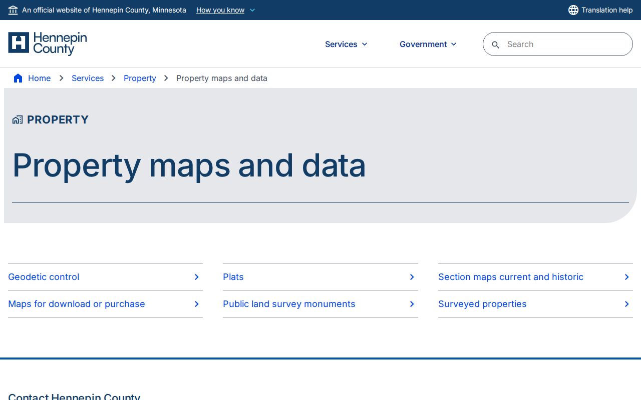
Use the county map layer for orientation, then record the source date because displayed parcel information can change.
Check New Hope Street Permits
The New Hope permit search accepts property number and street name. It covers properties with permits issued since June 1988. The city instructs users that a result without a Final Date remains open, which is a permit-status note only. It does not establish who occupies a property or why work was performed.
For older street records, the fallback is physical property files at City Hall, not a guessed absence. New Hope identifies the inspections division at 763-531-5127 and also provides permit applications for in-person or email return and BSA online application access. A request should identify the property, date range, and existing permit record sought. Under the Minnesota Government Data Practices Act, an office responds to existing records and does not need to create a new address history.
Permit dates can add an administrative time marker to a parcel trail. Keep the property number, issue date, permit type, final-date status, and source date separate from owner, directory, or deed evidence.
Read New Hope Street Instruments
Hennepin County maintains deeds, mortgages, assignments, liens, releases, satisfactions, and related real-estate instruments. RecordEASE Public Search supplies a limited free index. Its documented fields include recorded date or range, document group or name, document number, related document, certificate number, and book type. Begin with the PID or legal description, then save the document number, recorded date and time, document name, grantor, grantee, legal description, references, image indicator, and notes.
A saved deed-index result should make the next research step reproducible.
- Document number and recorded date or time
- Document name and image indicator
- Grantor and grantee roles
- Legal description
- Related or reference document numbers
- Notes that distinguish an instrument party from an address listing
Access does not stop at the public index. Request RecordEASE credentials through ts.recordease.support@hennepin.us. RecordEASE Pro is listed at $2.50 per document, certificate, or plat, with no monthly or search fee, subject to a current-price check. Self-service kiosks sit at the Government Center Skyway level in room SK-0353. A property owner can request a free electronic deed or certificate through recordsrequest@hennepin.us, while RecordingInfo@hennepin.us handles recording questions.
A recorded party is not automatically a resident. The county says about 45% of its property is Torrens, where certificate activity can differ from an abstract document chain. Read the document type and legal description before interpreting a name as a transfer connection.
The Hennepin self-authenticated deed-index interface illustrates the recorded-date, document, party, legal-description, and reference fields.
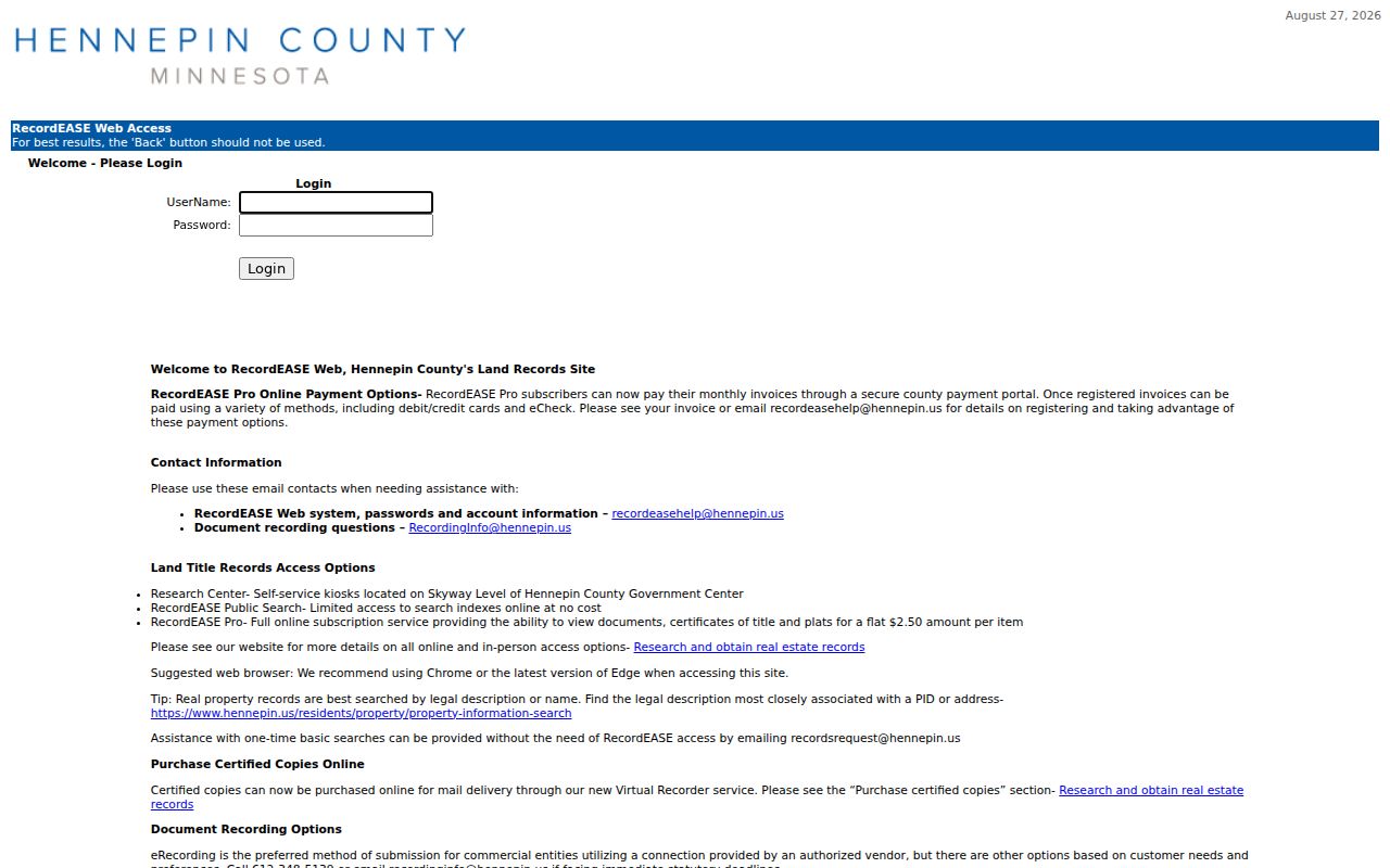
The sample is an interface example, not a New Hope parcel claim, and it shows why each instrument must be read field by field.
Note: If an image is unavailable online, use the Recorder kiosk or document-order route before treating the index entry as the full record.
New Hope Street Geography
New Hope’s corridor-and-collector network provides useful map context for a street lookup. The 2040 comprehensive plan identifies 62nd Avenue North, Medicine Lake Road, Highway 169, West Broadway, Boone Avenue, 49th Avenue, Winnetka Avenue, and 42nd Avenue as major collectors or corridors. Local streets feed that network. A parcel near one of those routes can sit close to a city edge without lying outside New Hope.
The irregular Crystal boundary deserves its own check. New Hope began as a rural township after Crystal incorporated in 1936, then incorporated as a city in 1953 to prevent further annexation. Some annexation pockets remained in the boundary history. Compare the postal label, city map, Hennepin parcel record, and legal description rather than discarding an address because one source uses a neighboring locality.
The New Hope 2040 Comprehensive Plan supplies corridor context, while the parcel map supplies record-specific geography. The city began a 2050 plan update in 2026, so planning terminology can change while the update proceeds.
Search New Hope Street Directories
For a past address appearance, use the Hennepin City Directory collection with exact street text. The digitized New Hope–Plymouth–Wayzata set covers 1964 through 1983. A directory may group New Hope with nearby communities, so deselect unrelated cities when the interface permits and test the address and surname separately. A woman may be recorded under a spouse in parentheses, and head-of-household conventions can leave some people out.
The historical shelf is not limited to online scans. Hennepin County Library Special Collections has regional material and can be reached at specialcoll@hclib.org or 612-543-8200. The Minnesota Historical Society’s Hennepin telephone-directory finding aid documents New Hope holdings most densely from 1960 through 1992, with some later material and format gaps. Its staff search service can search one name or business in up to five years of one city’s directory and telephone volumes. The service lists a $20 charge and an estimated three to four week turnaround, subject to current terms.
Historical directory evidence belongs beside a year and edition. For a fuller collection-focused route, use the New Hope Directory Book after the street search identifies a relevant year.
New Hope Street Record Terms
These short definitions make it easier to keep county, city, and library results in their proper roles.
- Parcel
- A defined unit of land in the county tax and mapping system, usually identified by a PID.
- Situs address
- The physical location assigned to a parcel. It differs from an owner or tax mailing address.
- Plat
- A recorded subdivision map used to describe land and locate lots, blocks, or additions.
- Criss-cross directory
- A directory arrangement that can support an address-to-name search when that edition includes reverse listings.
A legal description is the land wording used in recorded documents. It is often the safer tie-breaker when a street label, parcel number, or locality name has changed.
Preserve New Hope Street Notes
A repeatable address-research result needs more than a screenshot. Record the normalized address, exact returned text, postal locality, municipal interpretation, ZIP, PID, legal description, source URL, retrieval date, and record role. For an instrument, add the document number, recorded date and time, document name, parties, and reference documents. For a directory, add the edition, page, and whether the hit came from an address or name search.
Use a narrow confidence label at the end of the note: current parcel match, historical address lead, legal-instrument party, public civic mention, or unresolved. A no-result should name the portal and query terms used, then list the next custodian route. That practice is important when a parcel was divided, a historical source uses Crystal Lake Township, or an index requires another street abbreviation.
Limits of New Hope Street Searches
A street search cannot establish every person connected to an address. The assessor shows parcel and tax context, not a current-occupancy certificate. A deed names instrument parties, not every occupant. A directory is a dated and incomplete listing. USPS normalizes delivery information but does not confirm that a person or organization is at an address. MNVotes is an individual registration-match workflow with privacy limits, not a tool for compiling a street roster.
Some information is protected or unavailable by design. Minnesota Safe at Home protects a participant’s real address, and voter data excludes exact birth date and government identification numbers from public lists. The Minnesota Government Data Practices Act creates a public-data presumption while preserving classifications that make particular fields nonpublic. Ask the custodian for the public portion and a statutory citation for any withheld part.
Lawful use. New Hope street records are for personal, lawful research. Do not use them to stalk, harass, intimidate, or expose a protected address, and do not try to reconstruct a Safe at Home participant’s location.
Note: A missing result means only that the tested source did not return a record using the recorded terms and date scope.